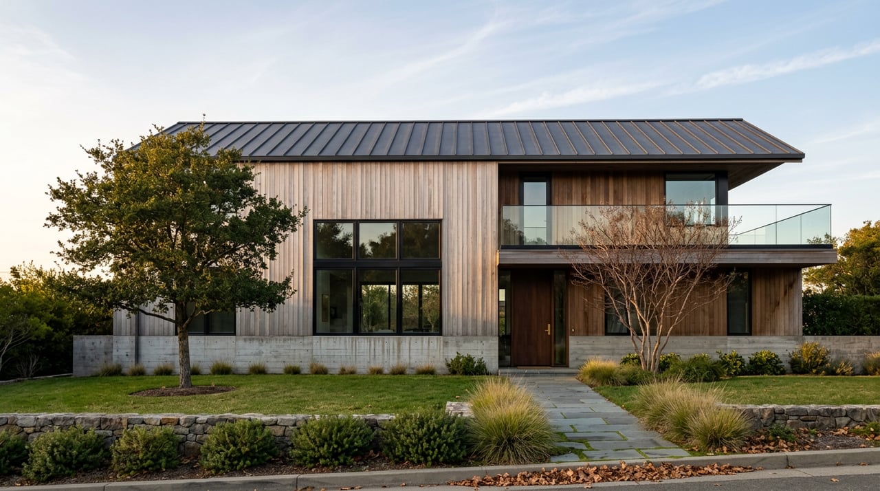
San Leandro Marina: Harbor Closure and Shoreline Plans
If you walk or bike the loop past the San Leandro Marina these days, you've probably noticed the chain-link. It runs along stretches of the old boat basin where masts used to cluster, and if you've done this walk for years, the quiet where the docks used to be is the kind of thing that makes you slow down and wonder what happened. Nothing in the local news cycle announced it with fanfare. It just crept in, section by section, while the rest of the shoreline kept doing what it's always done.
Here's the part most people miss: "San Leandro Marina" doesn't mean one place anymore. It hasn't for a while.
Marina Park, the 30-acre stretch with the picnic areas, the two playgrounds, the dog park, and the mile-long par course, is still fully open and still gets busy on weekends. It anchors the south end of a seven-mile paved and gravel trail that runs along the bay all the way to the Hayward Interpretive Center, and if you've taken your kids there this summer or let the dog off leash at the gated area past the whale mural, none of that has changed.
The boat harbor next to it is a different story. The small-craft harbor, the actual docks and boat slips that gave the marina its name, was permanently closed by the city in January 2023. What you're seeing behind the fencing isn't a delayed repair. It's a site being prepared for something else entirely.
The harbor had been fighting a losing battle against the bay for decades. It was built in the early 1960s, expanded in the early 1970s, and improved again in 1984 and 1991, but the basin sits in a spot where natural currents constantly refill the channel with silt. Keeping it navigable meant near-constant, expensive dredging to serve a relatively small number of boat owners. At some point the math stopped working.
What's replacing it has been in motion for a long time. The city has been developing plans for roughly 75 of its 950 acres of publicly owned shoreline through a public-private partnership with Cal Coast Companies, and the community process behind it goes back to 2007, when the city formed a Shoreline Citizens Advisory Committee the following year. Town halls in 2009 through 2011 shaped the early options, and another round of meetings in 2017 refined what residents wanted to see. Call it slow, but it's the kind of slow that comes from actually asking people first.
The plan on paper includes up to 500 new housing units across a range of income levels, a hotel, restaurants, small retail space, new open space, and an extension of the Bay Trail itself. The city's project approval records show the more concrete piece: in 2022, the City Council approved a purchase and sale agreement for about 15.8 acres along the western portion of the existing 9-hole Marina Golf Course, clearing the way for 144 single-family homes and 62 townhomes. The council also formed a Community Facilities District that same year to fund public services and infrastructure in the new development through special taxes on the property itself, not through the city's general fund.
The restaurants that line the water kept serving through all of this. Horatio's has been doing seafood and steaks at the marina since 1979, and it's still there, along with El Torito. Wedges Bar and Grill still operates out of Monarch Bay Golf Club, which continues to run its 18-hole Scottish links-style course and its shorter 9-hole layout even as part of its footprint gets carved off for the housing parcels mentioned above. If your regular loop includes a stop for dinner or a burger after nine holes, that part of the routine hasn't changed at all.
Here's the piece that ties the whole corridor together, and it's easy to miss because it's run by a completely different agency. Just north of Marina Park, Oyster Bay Regional Shoreline has been under its own long-term transformation through the East Bay Regional Park District. The district approved a land use plan back in 2013 that called for a formalized trail system, a dedicated off-leash dog area, and a disc golf course, and that 18-hole course opened in October 2021 with tees for both beginners and experienced players. Around the same time, the district planted native shrubs and trees to give overwintering monarch butterflies a place to land.
The less visible part is still going. The district has spent years running what it calls Opportunity Fill and Grading, trucking in clean fill to build up the park's topography ahead of future recreation areas, including a bike skills park. The district's own project page notes that this phase of work was expected to begin construction this summer. So if you've noticed dirt trucks near the Neptune Drive entrance, that's not random activity. It's the same slow-motion rebuild happening one park over from the fenced harbor, on a completely separate timeline, run by a completely separate government body.
Put together, that means the same mile or two of shoreline you've walked for years is being reshaped from two directions at once right now. Even so, if you're the one walking the dog through both of them, you're seeing one continuous transition.
None of this makes the shoreline less worth visiting. If anything, fall is a genuinely good stretch to go see it for yourself. Weekday crowds thin out noticeably compared to summer weekends, and the light off the water in the late afternoon is worth the trip on its own.
It's also when the birds start showing up. The stretch of Hayward Regional Shoreline just south of the marina, connected by the same paved trail, is a documented stop for migratory shorebirds and waterfowl along the Pacific Flyway, with Northern Harriers working the marshes by day and Short-eared Owls hunting the same ground after dark as winter sets in. You don't need binoculars to notice the difference between a summer walk and one three or four weeks from now.
And if you head north instead, the hill at Oyster Bay is still one of the better free vantage points in the East Bay for watching planes line up on approach to Oakland Airport, construction equipment or not.
I've watched enough East Bay shoreline projects move through planning, funding, and construction to know that a fence doesn't mean a place is gone. It usually means something is being built that will outlast the inconvenience of getting there. The old harbor served San Leandro well for sixty years. What comes next includes housing, a hotel, and more of the Bay Trail.
If you're the kind of resident who notices these changes and wants to understand what they might mean down the road, whether that's a shift in a neighborhood's character or a question about a property near the development, I'm always glad to talk it through. That's the kind of local detail I've built a career on paying attention to.
Joe LoParo has spent more than four decades watching the East Bay change, one project at a time. Let's Connect if you'd like to talk about what's happening in your corner of it.
This article is general information, not legal, tax or financial advice. Consult a qualified professional about your situation.
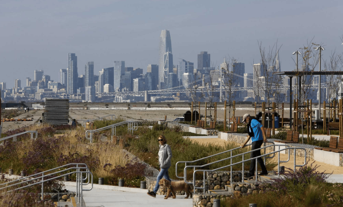
Alameda Point Redevelopment: Housing and Community Growth
Alameda County Program Helps Seniors Age in Place by Selling Their Homes
Housing Affordability in Alameda County: What It Means for Homebuyers and Homeowners
A successful move requires someone who can see both the immediate details and the larger picture. Joe brings more than 35 years of experience to help clients make decisions with clarity and confidence. When you're ready, he's ready to help.
Joe LoParo
2437 Santa Clara Ave Alameda, CA 94501 Joe LoParo | CA DRE# 01394083 Keller Williams Advisors | CA DRE# 02029039